A River Made Egypt's Breadbasket. Can a Dam Do the Same for Matabeleland North?
The Nile offers a template for what disciplined water infrastructure can do for agriculture. Zimbabwe's Gwayi-Shangani Dam may be the closest thing the region has to that opportunity.
By ZIX Editorial
Agriculture desk · 4 min read
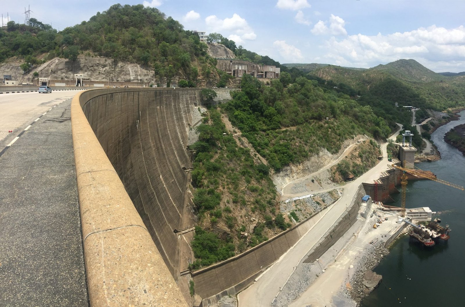
Kariba Dam, not Gwayi-Shangani · JonGT · CC BY-SA 4.0
Egypt is, by any honest accounting, a desert country that farms like a river delta nation, because it is one. Roughly 96% of Egypt's landmass is desert, yet the country sustains an agricultural sector that still contributes close to a fifth of GDP and employs a comparable share of its labour force, almost entirely on the back of Nile irrigation. Less than 4% of Egypt's land area is under cultivation, concentrated in a narrow band along the river and its delta and virtually all of it, over 80% of total Nile water use, goes to agriculture. The Aswan High Dam is the hinge on which this economy turns: before its completion in 1970, Egypt's cultivated area stood at roughly 2.8 million hectares; afterward, controlled year-round perennial irrigation and reclaimed desert land pushed the irrigated area to about 4.1 million hectares, enabling multiple harvests per year on land that would otherwise support none.
The lesson isn't that rivers are valuable, that's obvious. It's that controlled, engineered water storage, not rainfall or river flow alone, is what converts arid land into an agricultural economy. Egypt didn't get lucky with the Nile, it built infrastructure disciplined enough to turn an unpredictable flood cycle into a planning tool for farmers.
Zimbabwe's Own Test Case
Zimbabwe's Matabeleland North province, historically drought-prone, water-stressed, and with a relatively smaller provincial economy, is now the site of the country's most consequential water infrastructure project in decades: the Gwayi-Shangani Dam. Construction has progressed meaningfully under the current administration. As of mid-2026, the dam is reportedly roughly 74–75% complete, with the wall height raised from 39 to 55 metres over the past year and more than 194,000 cubic metres of concrete placed. The Zimbabwean government has set a 2026 completion target, with engineers privately pointing to November 2026 as the more realistic milestone, following earlier missed deadlines in 2023, 2024, and 2025.
Once filled, Gwayi-Shangani will hold approximately 691 million cubic metres of water, making it Zimbabwe's third-largest inland reservoir. Its primary mandate has been framed around solving Bulawayo's chronic urban water crisis. But buried in the official scope is the piece that matters more for regional economic development: the dam is designed to support multiple irrigation schemes and generate 10 megawatts of hydro-electric power, alongside fisheries, tourism, and industrial water supply.
Engineering the Matabeleland Greenbelt
There is greater opportunity for the Gwayi-Shangani to transcend being a Bulawayo water supply project into a serious agricultural anchor, if it's modelled with the same intent Egypt applied to the Nile. Matabeleland North has land. What it has never had is reliable water. Government's own master planning has already scoped this: officials have identified a gross command area of roughly 12,000 hectares around the dam basin, with about 10,000 hectares net irrigable, distributed across Hwange, Binga, Lupane, and the Nyamandlovu/Immergroen area, plus a further 800 hectares of smaller sites strung along the 252-kilometre pipeline to Bulawayo. Estimated cost of the irrigation infrastructure alone runs to roughly US$100 million a reminder that the dam wall is only a part of the project and not the whole of it.
The comparison to Egypt is instructive precisely because of scale, not despite it. Egypt turned a few million hectares of Nile-adjacent land into a national food and export engine through irrigation discipline alone, not abundance of water, but consistency of access to it. Gwayi-Shangani doesn't need to replicate the Nile's scale to matter regionally; it needs the same design philosophy: dedicated irrigation infrastructure, planned command areas, and a delivery system that reaches farmers.
The Value Chain Multiplier
A greenbelt built purely around bulk staple grain would undersell what's actually been scoped. Government's phased plans point toward higher-value crops, citrus, macadamia, and pecan nuts, alongside seed potatoes and dairy, crops chosen deliberately for export potential rather than domestic subsistence alone. That choice matters, because it's what turns an irrigation scheme into an industrial corridor rather than just a bigger field.
The dam's planned 10-megawatt hydro-electric points to on-site power which will catalyze grading and seed-processing plants, oil-pressing and dairy facilities, and abattoirs or stock-feed processing to locate near the farms themselves rather than trucking raw output elsewhere for value addition. That's the difference between a "greenbelt" as a farming zone and a "growth point" as a rural industrial cluster, processing capacity anchored where the water and power already are, so the economic density stays in the province instead of leaking out to Bulawayo or Harare.
Government's own master plan is still open for private participation
Matabeleland North's economy has long been weighed down by underdeveloped infrastructure and chronic water insecurity that constrains both commercial and smallholder agriculture. A functioning greenbelt anchored on Gwayi-Shangani's irrigation blocks could shift the province from subsistence, rain-dependent farming toward commercial-scale, multi-season production — the same transition that let Egyptian farmers harvest two to three times a year on irrigated land instead of once. The Nile didn't build Egypt's agricultural economy. Egypt's engineers, irrigation planners, and decades of follow-through did.
Matabeleland North now has its dam. Most attention on this project, the concrete volumes, the construction delays, the completion date, has followed the wall itself, and understandably so; it is the visible milestone. But the wall is only the enabling asset. The 10,000 plus hectares of command area already mapped across five districts, the processing capacity still to be built for citrus, macadamia, pecan, and dairy output, and the licensing and land positions still open under government's own master plan, that is where the economics of this project will actually be decided. While everyone else's eyes are on the dam, investors should now be eyeing the greenbelt as the real investment frontier.
Editorial note: Scaffolding copy written to establish structure, voice and length. Replace before publication.